As he map promised at 7:45 I began a wing ding of a climb. I’m about a half hour into it when the navigation app says “Take Boomer Bend Rd” as I look to the highway I see nothing but asphalt climbing like a wall.
Ohh is this a new route going around the hill not over it?
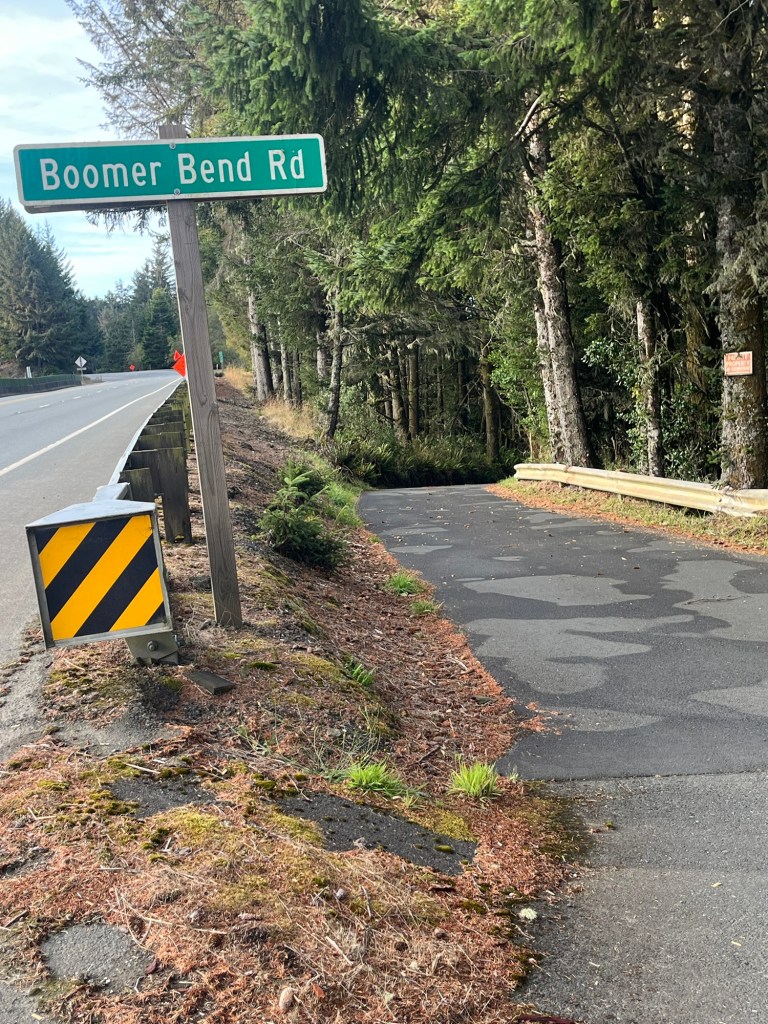
As I gaze to the right I see
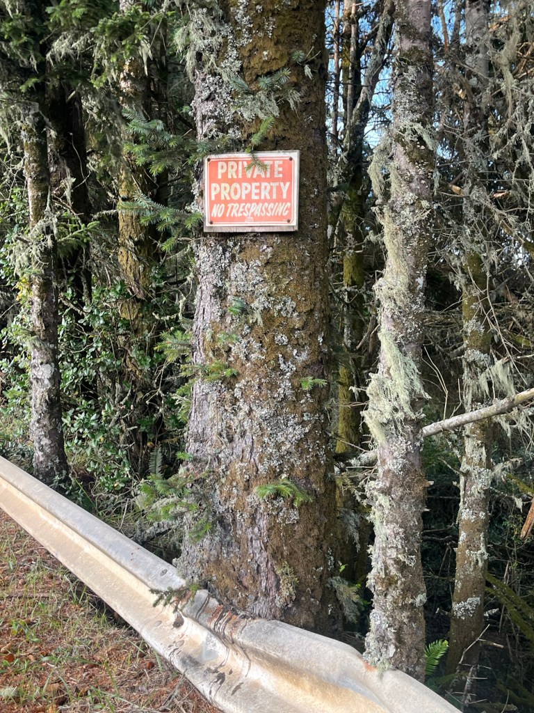
Does that mean the road or the area to the downhill of the sign
I look where the road goes and it’s steeper than greased glass descending into hell.
The navigation map shows a road that is different than my paper map.
Just then a van comes up the Boomer Bend Rd. I flag them down and explain my quandary .
Legs are screaming
“Go down”
The guys said Oh no you don’t want to go down it drops off like crazy and the dead ends.
Up we went SOO GLAD WE DIDN’T LISTEN TO LEGS.
The day was crystal clear and cool again.
These rock formations are Ga Ga,
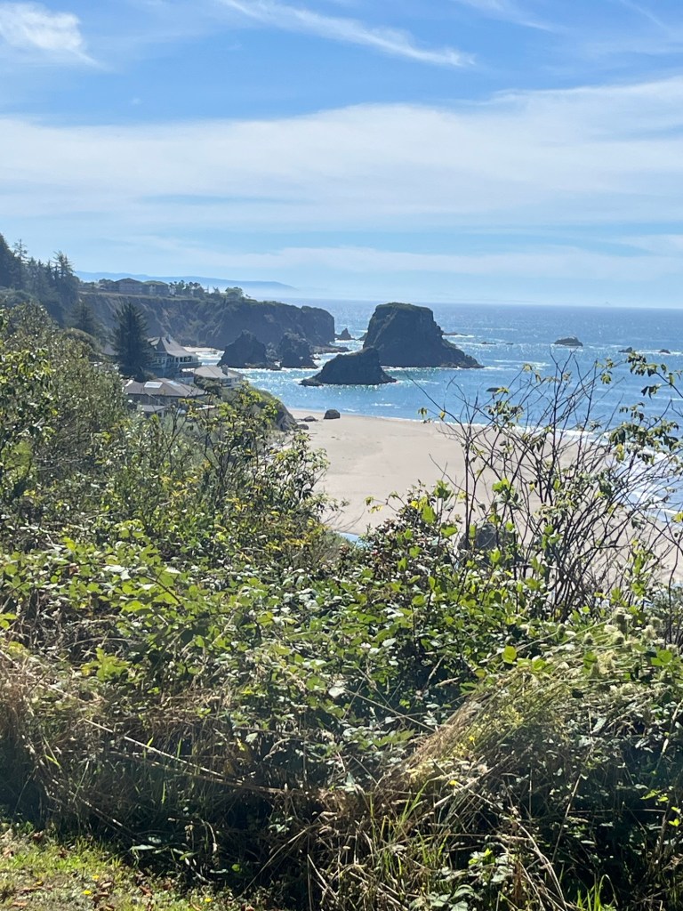
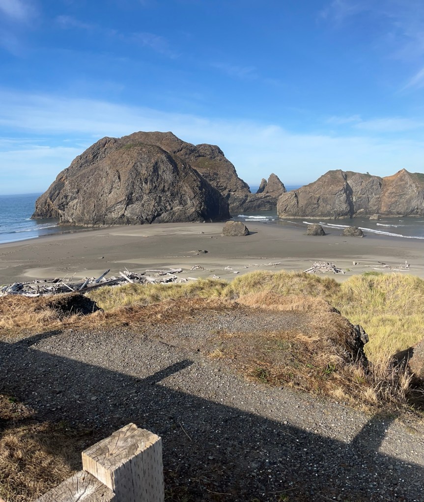
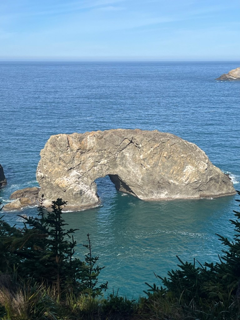
Water erodes, creates fissures that eventually crack and cave in. Blow up the image and took at the area about 2 o’clock above the arch.
“All in good time my pretty”
While looking at this several of us enjoyed a ranging conversation.
There was a woman old enough to have kids in graduate school school, who was striking out on her own for a 5 week driving and camping adventure.
One of the guys was passing through after rock climbing in Yosemite.
One of the ones he did was “ Lost arrow spire”
They attached a rope to a tree on the cliff.
Then repelled to the valley floor, climbed up lost arrow spire.
Pulled the rope taut fixed it to the spire and shimmied across while gazing fondly 880 meters below. to the cliff where they started. It is called a Tyrolian Traverse
There used to be a Tradition of seeing how many people they could get on the spire at one time.
I think I’m busy that century.
Until then


ahh, thank you.
LikeLike
Lots of hills and lots of beautiful scenery. What a ride you’re having!!! So good to have Pau’s Travels. Sent from my iPadOn Sep 8, 2026,
LikeLike